Sample study · Neighbourhood change
Units Added & Lost Study
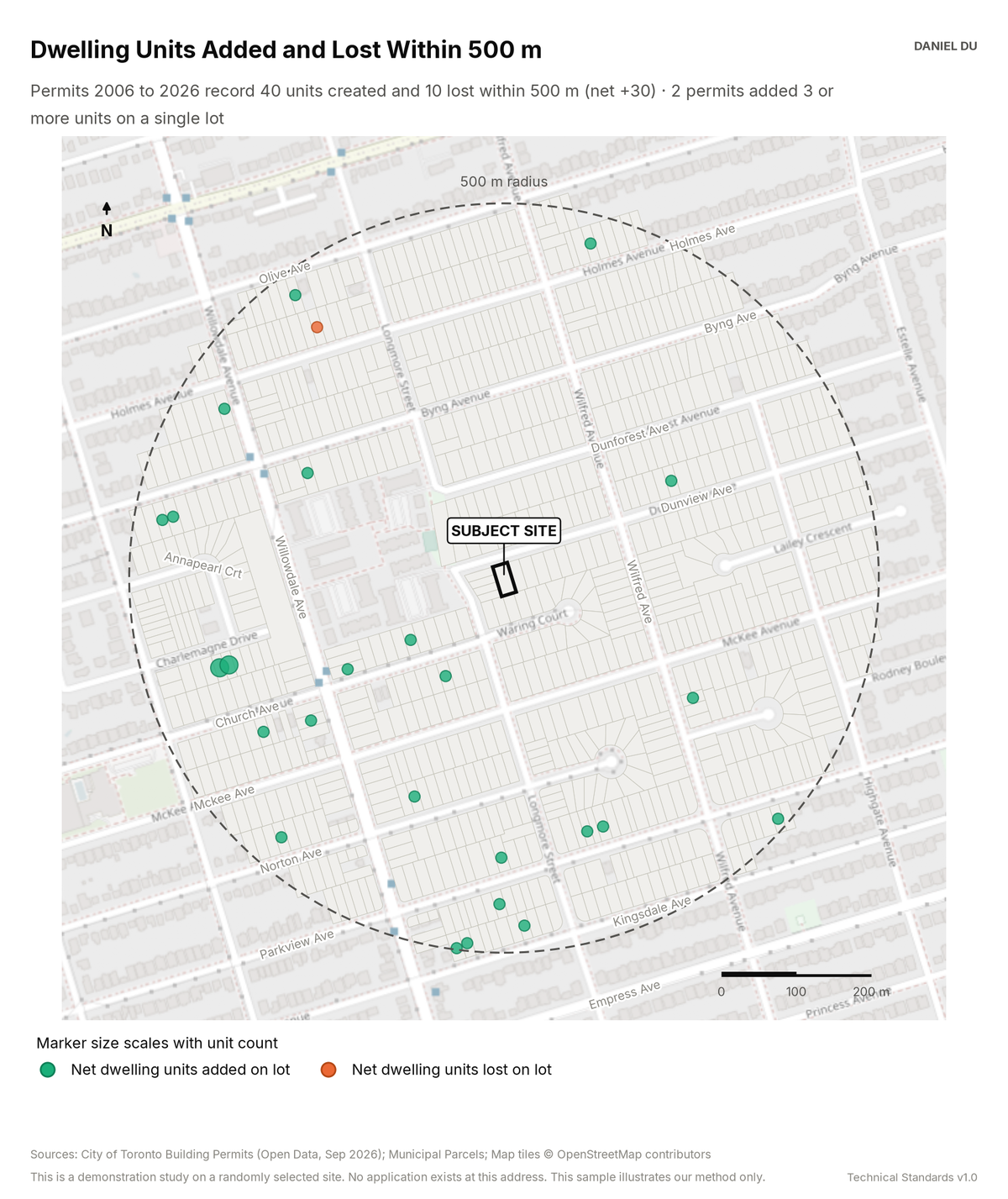
The study shows the net change in dwelling units for each lot. The data comes from the permit record.
Result on 205 Dunview Ave, Willowdale
Net +30 units recorded within 500 m
The package includes the report (PDF), the print-ready map exhibit (PNG), the full data table with a data dictionary (CSV), a methods note (TXT).
How it is measured
We match building permit records by address to the parcel fabric. We keep the permits within the radius. Net change per lot is the number of dwelling units created minus the number lost, summed across the permits on that lot. We count only permits with a non-zero unit field. The City's unit fields undercount informal units. The net figure is therefore conservative.